4V Premana-Bocchette di Stavello
Expert 4V Premana-Bocchetta di Stavello
DEPARTURE/ARRIVAL
From: Premana
To: Bocchetta di Stavello
TYPE/PERIOD
Mountain Bike / E-mtb
Autumn / Summer
Duration/Length
6 hours
12 km
CHANGE IN ALTITUDE
Uphill: 1320 m
DIFFICULTY
Expert

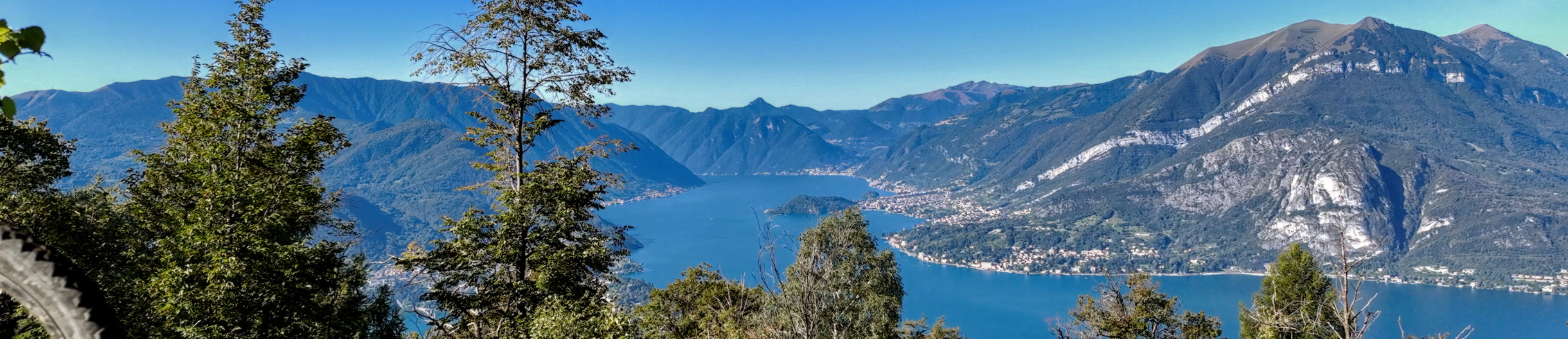
Starting from the center of Premana, the adventure begins with a climb by mountain bike to the highlands, in the direction of Bocchetta di Stavello. Moving toward the eastern edge of the town, where at the hairpin bend between Via Prealpi and Via Risorgimento, the Val Fraina mule track begins. The route, at first paved and with limited gradient, turns to dirt with large cemented sections and rapidly increasing elevation gain, mostly rideable despite the gradual increase in difficulty. During these first 6/7 kilometers, the route crosses Alpe Rasga, passes downstream of Alpe Caprecolo and reaches Alpe Fraina at 1393 meters above sea level. From Alpe Fraina, continue about 200 meters eastward following the military mule track, which forks creating two distinct routes to the high altitude fortified areas of Bocchetta di Colombana (southbound) and Bocchetta di Stavello (northbound). Continue northward crossing the stream and then begin the most challenging and scenic section of the route following the Great War dirt mule track with its 5 km, 800 meters of elevation gain and 41 hairpin bends to reach the pass at an altitude of 2202 meters. In some passages given the difficulties of the place and the exposed sections, it will be necessary to push the bicycle, but nevertheless the route given the regular gradient of the track (with an average of 16%) and the width of the mule track, is cyclable. However, this part is suitable for experienced mountain bikers and allows you to reach at high altitude a historic pass connecting the provinces of Lecco and Sondrio. Finally reaching Bocchetta di Stavello, it is possible to observe and visit the military testimonies of the Northern Frontier (Cadorna Line), positioned along the ridge that reaches the summit of Monte Rotondo. The return is planned along the same route of ascent to be traveled with care and considerable technical skills given the high difficulty of the route in the downhill direction.

Cities crossed by the itinerary

Fotogallery

In salita verso Stavello
Punto panoramico linea Cadorna
Vista sul monte Rotondo
Vista dalla bocchetta di Stavello
Strada per Fraina
Alpe Fraina

Point of Interest

Itinerary Data

hedaer

A new cycle network has been created in the Upper Lake Como area. There are 23 routes in two large areas along the lake's shores, for a total of 380 kilometers. Two routes are for beginners, 10 for intermediates, 8 for advanced cyclists, and 3 for experts. The difficulty scale and route tracking were verified by CAI experts, and an international evaluation standard was adopted in agreement with the Lombardy Region.


Along the routes, there are many panoramic points where you can admire the stunning beauty of Lake Como. The app provides all the information you need to safely navigate the routes, including directions to equipped areas, places of art and culture to visit, and events scheduled in the towns along the chosen route. You can also watch videos of the best panoramic views.


THE CYCLE ROUTES OF THE WESTERN NORTH LAKE COMO - There are 8 new routes at mid-mountain and high altitude, for a total length of 134 kilometers. The routes connect to existing connections between mountain towns and lakeside towns, where there is already a cycle path. The routes start in Sorico and pass through Montemezzo, Vercana, Trezzone, Livo, Peglio, Dosso del Liro, Gravedona ed Uniti, Stazzona, Dongo, Garzeno, Pianello del Lario, Musso, and end in Cremia.


THE CYCLE ROUTES IN THE VALSASSINA - There are 15 routes that allow you to climb from the lake to the Valsassina and Valvarrone, taking advantage of the trails on Mount Legnoncino; the loop circuits in the North Valsassina; the connections with the Valsassina cycle path; and the routes of the Val d'Esino.


WHAT ARE INTERNAL AREAS AND THE "UPPER LAKE COMO AND VALLI DEL LARIO" STRATEGY? - The "North Lake Como and Valli del Lario" Area Strategy was launched in 2018 as part of the National Strategy for Internal Areas 2014/2020. It involved 31 municipalities in the Valsassina, Valvarrone, Val d'Esino, and Riviera (Lecco) communities and the Valli del Lario and Ceresio communities (Como). The National Strategy for Internal Areas (SNAI) is a strategic plan designed to enhance and develop internal areas, which are often characterized by challenges such as depopulation, lack of services, and fewer economic opportunities. The goal is to promote the sustainable development of these areas by investing in infrastructure, services, the local economy, and the preservation of cultural and natural resources. The "Upper Lake Como and Valli del Lario" Area Strategy, implemented in the period 2018/2023, has made it possible to implement 31 projects for a total of 20 million euros, of which 5,285,000 euros were used to promote interventions to recover and enhance the heritage and to strengthen the cycle and hiking routes between the lake and the valleys.

Install app

GO
What is a PWA? Progressive Web Apps are a hybrid of mobile app and Web site: it is a technology that runs on the browser and does not require downloads from the app store, which contains Web pages just like a site. Through the install command on the browser you can create a quick link on your smartphone.