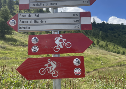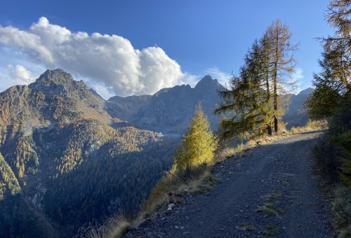


A long and continuous alpine itinerary of outstanding scenic value, linking Gerola Alta and Introbio across three valleys – Val Gerola, Val Varrone and Val Biandino – and crossing the historic mountain passes of Boc del Rat and the Bocchetta di Trona. The route follows an articulated network of agro-silvo-pastoral roads, military mule tracks and high-altitude trails, embedded within the landscape shaped by First World War military infrastructures and centuries-old alpine mining activity.
The main itinerary is intended for advanced hikers and experienced MTB/e-MTB riders, combining long rideable sections with more technical segments, especially near the mountain passes. Full integration of this route will allow direct connections with the itineraries already featured on the Alto Lago Como Bike WebApp, creating a coherent and wide-ranging network of historic and cycle-tourism routes.
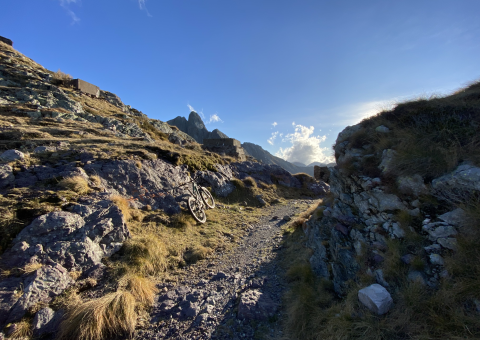
From Gerola Alta, the ascent initially heads towards Lake Trona, following semi-paved and dirt agro-pastoral roads. Gradients are sometimes demanding but gradually lead to higher elevations, eventually joining the track that climbs to the Bocchetta di Trona (2,093 m). The ascent path, characterised by wide switchbacks and a generally regular surface, is largely rideable even by e-MTB users, provided a good level of fitness and technical awareness.
At the Bocchetta di Trona, the highest point of the itinerary, visitors encounter the remains of the former Linea Cadorna barracks, now converted into a commemorative chapel—an important stop and panoramic viewpoint.
From the pass, the route descends along the iconic military mule track running beneath the Pizzo dei Tre Signori, heading towards the Rifugio Casera Vecchia di Varrone. This section is particularly scenic and technically demanding, featuring a steep and challenging descent that can test even highly skilled riders due to gradient and surface conditions.
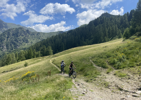
From Alpe Varrone, the route briefly loses elevation in the direction of Premana before turning right onto a mid-slope trail that traverses wooded terrain with long undulating sections, leading towards Artino and the Laghitt area. From here, the itinerary becomes more technical: the trail requires solid riding skills, especially on the uphill sections and in narrower passages. The natural setting is of exceptional quality, with extensive beech, pine and larch forests accompanying the climb up to Alpe Artino.
From the alpine pasture, riders may continue along the contour path to Malga Alpe Artino, an ideal place for a break, or turn left to tackle the final ascent on trail. In this section, carrying sufficient water is strongly recommended, as supply points are scarce.
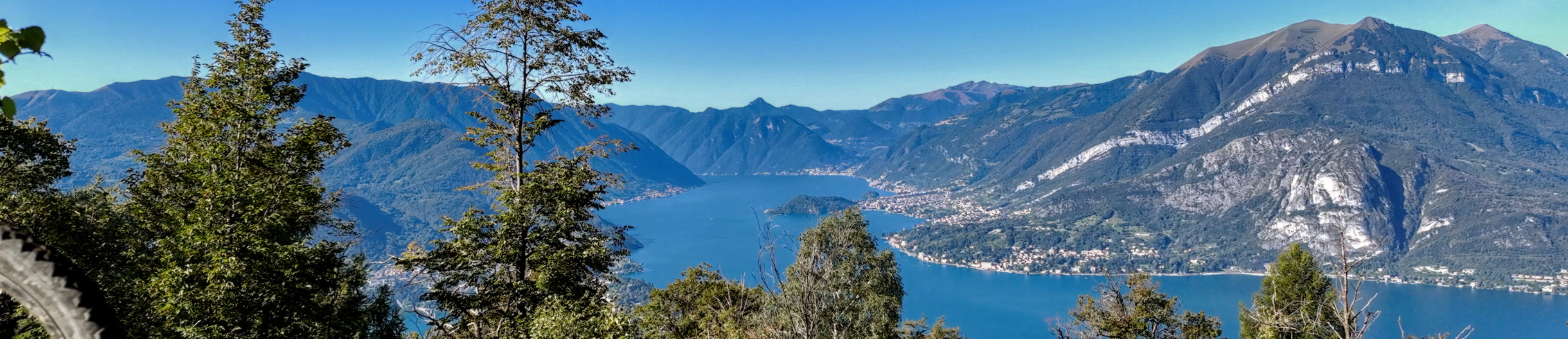
After negotiating a series of uphill switchbacks, the route reaches the Laghetto degli Asini and then the Laghitt area, a spectacular natural balcony offering wide views over the Biandino Ridge. From here, several alternative connections open up towards the Val Biandino, the Pizzo dei Tre Signori, or the Piani delle Betulle, following the ridge towards Larice Bruciato and Cimone di Margno.
The itinerary then continues downhill towards the south-west, taking a trail that descends from the Sponda di Biandino into the valley of the same name. The presence of numerous mountain huts along this section allows for intermediate stops before tackling the final part of the route.
The return to Introbio follows the Val Biandino road, a wide and comfortable agro-silvo-pastoral track, almost entirely paved with concrete, ensuring a smooth and safe descent to the valley floor and completing a long, varied and highly rewarding alpine itinerary.