


The T.0.3 itinerary follows the historic military mule track of the Valle di Fraina, connecting Premana to the Bocchetta di Stavello, an ancient mountain pass between the provinces of Lecco and Sondrio. The route is part of the system of military infrastructures built during the First World War and represents one of the most significant high-altitude access routes from the Lecco side toward the alpine ridge.
The main route connects Premana with Gerola Alta via the Bocchetta di Stavello; however, MTB and e-MTB accessibility is largely limited to the Lecco side. The characteristics of the summit trail and of the Valtellina side do not allow for a continuous bike connection between the two valleys, making the ridge section suitable almost exclusively for hikers. On the Valtellina side, cycling is possible up to the Rifugio Alpe Stavello, beyond which the descent presents technical difficulties and exposure incompatible with widespread MTB use.
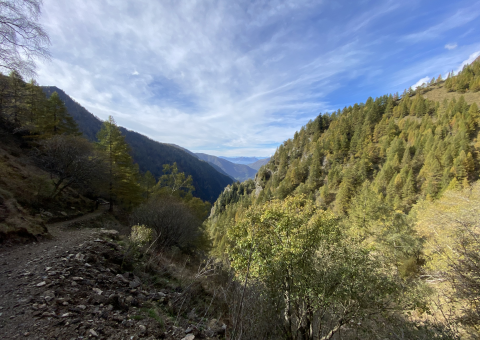
From Premana, the route starts in the village center and heads toward its eastern edge. At the hairpin bend between Via Prealpi and Via Risorgimento, the ascent begins along the Val Fraina mule track. The initial section runs on asphalt with gentle gradients, then gradually turns into an unpaved surface with long concrete sections and a rapid increase in elevation gain. Despite the steeper gradients, the surface remains generally regular and the climb is largely rideable.
Over the first 6–7 km, the route crosses Alpe Rasga, passes below Alpe Caprecolo, and reaches Alpe Fraina (1,393 m), a key point of the itinerary. From here, the track continues eastward for about 200 meters along the military mule track to a fork separating the routes toward the fortified areas of Bocchetta di Colombana (south) and Bocchetta di Stavello (north). The main itinerary continues north, crosses the stream, and tackles the most demanding and scenic section of the ascent.
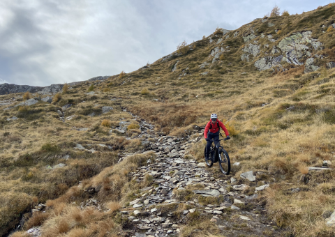
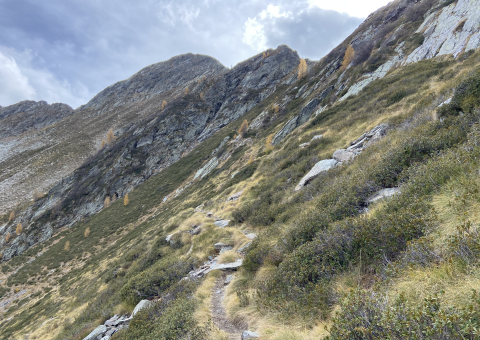
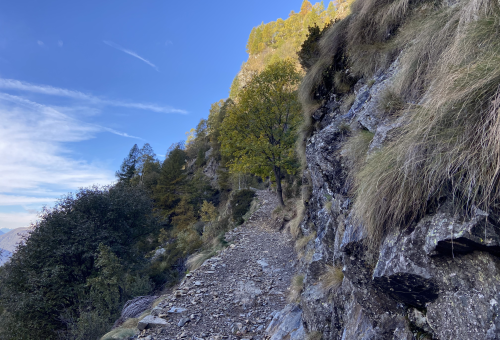
The First World War military mule track climbs with a steady gradient for about 5 km, gaining over 800 meters in elevation through 41 switchbacks, until reaching the Bocchetta di Stavello at 2,202 m. Average gradients of around 16% and the width of the track make most of the route rideable; however, in some exposed or technically demanding sections, pushing the bike by hand is required. This segment is therefore intended for experienced cycle-tourists and e-MTB riders, fully aware of high-altitude conditions. At the Bocchetta di Stavello, visitors can observe important remains of the Cadorna Line, with military structures distributed along the ridge leading toward Monte Rotondo. For MTB users, the recommended return on the Lecco side follows the same ascent route, which demands strong technical skills when ridden downhill due to steep gradients and uneven surfaces.
From the pass, it is also possible to descend toward Rifugio Alpe Stavello along stone-paved paths and rocky sections. This long and severe segment represents the most demanding part of the entire route: exposure, steep slopes, and tight switchbacks severely limit MTB rideability, requiring frequent carrying of the bike. At the refuge, it is possible to stop and, for e-MTB users, recharge if necessary.
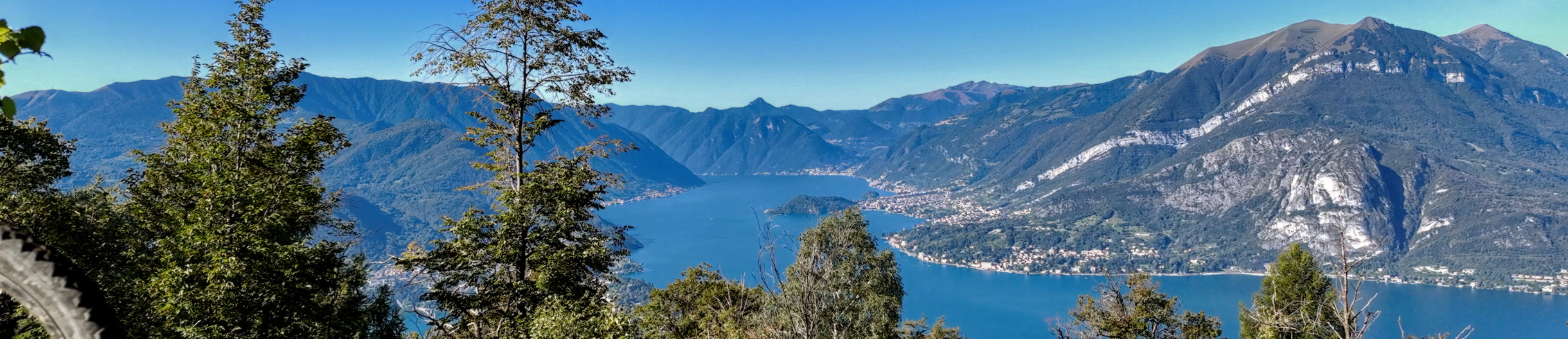
From Rifugio Alpe Stavello, the descent toward Gerola Alta continues along a network of trails, historic mule tracks, and agro–forestry roads, passing through Alpe Colombana, Laveggiolo, and the small hamlet of Castello. Although highly scenic, this section should be considered complementary and more hiking-oriented in character, to be tackled with caution and only by suitably experienced users.